The Tools
Integrating Digital Innovation in Pipeline Management
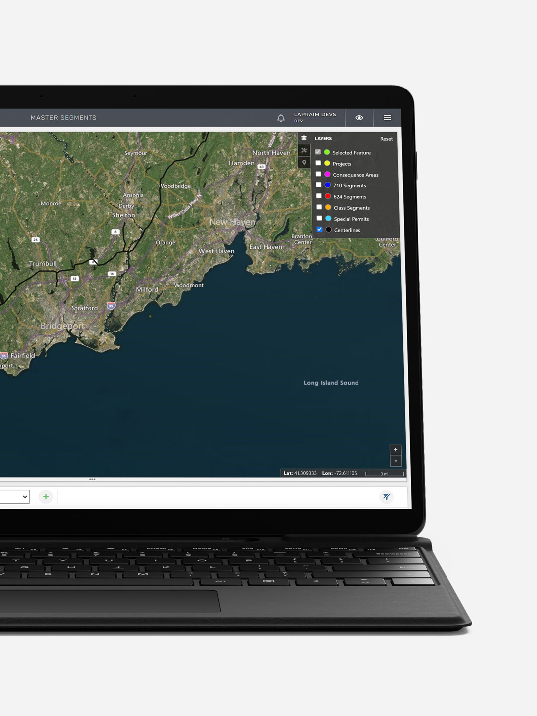
LaPraim successfully digitalized various elements including pipeline centerlines, areas of consequence, special permits, and project sites, empowering Kinder Morgan to conduct significant spatial analyses. This process involved making physical assets within the GIS accessible through multiple map views like road, aerial, or dark themes, complemented by geographic overlays. Additional features include measuring tools for distance calculation and circular buffers for assessing proximity.
Our team of programmers developed a comprehensive system of layer style control and sorting functionalities, specifically tailored for pipeline integrity management in the oil and gas sector. The GIS platform was engineered using a combination of React, Python, and SQL technologies.