Case Study
Kinder Morgan's Innovative GIS Pipeline Integrity Software
Kinder Morgan, a leader in energy infrastructure, has recently implemented a cutting-edge pipeline integrity management system. This system, powered by Geographic Information System (GIS) technology and developed by LaPraim, enables the company to efficiently evaluate its natural gas assets through advanced data visualization. This innovation not only minimizes risks but also ensures Kinder Morgan meets the rigorous maintenance standards set by the industry.

Overview
Enhancing Pipeline Safety
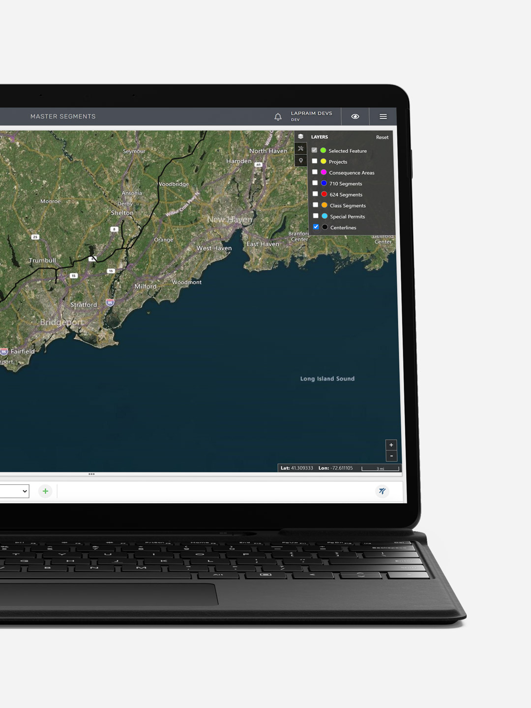
LaPraim transformed Kinder Morgan's vast repository of spatial data and geographic coordinates detailing pipeline locations into an accessible visual platform – a tailor-made geohub. This development was driven by the necessity to monitor and analyze natural gas assets visually.

The Tools
Integrating Digital Innovation in Pipeline Management
LaPraim successfully digitalized various elements including pipeline centerlines, areas of consequence, special permits, and project sites, empowering Kinder Morgan to conduct significant spatial analyses. This process involved making physical assets within the GIS accessible through multiple map views like road, aerial, or dark themes, complemented by geographic overlays. Additional features include measuring tools for distance calculation and circular buffers for assessing proximity.
Our team of programmers developed a comprehensive system of layer style control and sorting functionalities, specifically tailored for pipeline integrity management in the oil and gas sector. The GIS platform was engineered using a combination of React, Python, and SQL technologies.

GIS Technology
Kinder Morgan's GIS Revolution in Asset Mapping and Tracking
Kinder Morgan's innovative GIS provides an economical solution for mapping and monitoring the spatial positions of critical assets. It enables the visualization of data patterns by region or specific geological features, aiding in predicting environmental changes, tracking maintenance requirements, and assisting in geographically-informed business decisions.
The pipeline integrity software is equipped with bespoke fields for regulatory segment types, operators, line names, line designators, and risk aggregates to guarantee compliance with projects. Utilizing this data effectively helps in identifying potential threats and mitigating the likelihood of unsuccessful evaluations.
Our Work
Related Case Studies

PIDX
Discover the PIDX International website project on WordPress, a key initiative uniting the global petroleum industry. Learn how this site revolutionizes e-commerce standards and fosters industry collaboration, showcasing a seamless blend of technology and expertise.
Visit case study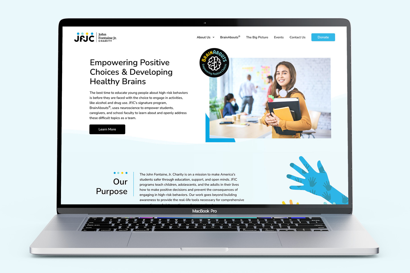
John Fontaine, Jr. Charity
Learn how JFJC's website is shaping the future of youth empowerment. Witness the impact of their BrainAbouts program and digital excellence with WordPress and WP Engine.
Visit case study
Sweet Paris
Experience the digital transformation of Sweet Paris Crêperie & Café, featuring a revamped website, enhanced UI/UX, and integrated analytics for improved engagement and increased sales.
Visit case studyConnect in 3 simple steps
Let's connect.
We want to hear from you and learn how we can make technology work for your organization.