Advancements in Geographic Information Systems (GIS)
Over the past five years, Geographic Information Systems (GIS) have not only sustained their significance in the realm of technology and innovation but have also seen tremendous advancements. These systems continue to serve as pivotal tools in integrating various types of information with geographic data, enabling enhanced analysis of trends, creation of intricate visualizations, and more accurate predictions.
Advancements in GIS
The application of GIS has broadened, touching upon even more sectors and incorporating newer technologies to solve complex problems across multiple disciplines. The essence of GIS—merging spatial and geographic data to address issues—remains unchanged. Yet, the depth, efficiency, and scope of its applications have evolved significantly.
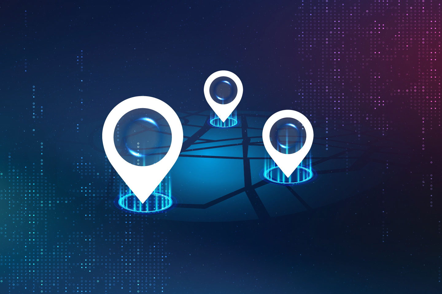
Enhanced Visualization, Mapping, and Location-Based Services
The introduction of more sophisticated algorithms and higher-resolution satellite imagery has markedly improved GIS's capabilities in visualization and mapping. These advancements enable more detailed and accurate vegetation maps, topographical analyses, and urban planning projects. Today, GIS platforms can manage and analyze the data of an entire city's infrastructure in real-time, optimizing everything from traffic flow to emergency response routes.
Modern GIS applications now incorporate real-time data, allowing for dynamic mapping and visualization that reflect current conditions. This real-time capability is crucial for applications ranging from disaster response to live tracking of logistics.
Cybersecurity Tip:
When leveraging GIS functions on mobile devices, it's crucial to ensure the security of your geographic data and personal information. Implementing robust cybersecurity measures can protect against unauthorized access and data breaches. For comprehensive strategies and solutions to safeguard your mobile GIS applications, visit our guide on
cybersecurity insights.
Networks and Advanced Trend Analysis
The integration of Big Data analytics with GIS has opened new frontiers for network creation and trend analysis. GIS now routinely handles vast datasets, enabling more nuanced and predictive analytics. This integration allows for more sophisticated analyses, such as predicting changes in environmental conditions, urban growth patterns, or consumer behavior trends with greater accuracy.
GIS's role in facilitating decision-making processes has been significantly enhanced through the use of machine learning and artificial intelligence (AI). By analyzing historical and real-time data, GIS can now offer predictive insights, automate pattern recognition, and provide solutions to previously intractable problems.
Case Study:
Kinder Morgan's Innovative GIS Pipeline Integrity Software. Kinder Morgan, a leader in energy infrastructure, has recently implemented a cutting-edge pipeline integrity management system developed by LaPraim. This system, powered by Geographic Information System (GIS) technology, enables the company to efficiently evaluate its natural gas assets through advanced data visualization, minimizing risks and ensuring compliance with industry maintenance standards. For a detailed overview of this groundbreaking project, visit our
case study on Kinder Morgan's GIS project.
GIS and Artificial Intelligence
The convergence of GIS with AI and machine learning has been one of the most transformative trends in recent years. AI algorithms can analyze spatial data to predict events, from environmental disasters to urban planning needs, with unprecedented precision. This synergy enables the development of smart cities, automated transportation networks, and effective disaster management strategies.
GIS technology has expanded into public health, where it plays a crucial role in tracking disease outbreaks, planning healthcare services, and analyzing social determinants of health. In environmental conservation, GIS helps in monitoring wildlife, managing natural resources, and predicting climate change impacts.
The Evolution of GIS
As GIS technology continues to evolve, its integration with cloud computing and the Internet of Things (IoT) suggests a future where geographic information systems are more interconnected, faster, and accessible than ever before. The democratization of GIS, through open-source platforms and public data repositories, is lowering barriers to entry, enabling a broader range of users to leverage this powerful technology.
GIS is expected to play a crucial role in tackling global challenges, from climate change adaptation and mitigation to urban planning and sustainable development. The technology's ability to analyze spatial data in the context of social, economic, and environmental factors makes it indispensable for decision-makers worldwide.
Career Tip:
To stay ahead in the rapidly evolving field of GIS, it's crucial to keep abreast of the latest technological advancements and emerging trends. Regularly visiting
authoritative GIS websites and forums can provide invaluable insights and opportunities to network with industry experts. Additionally, attending
GIS conferences and workshops can enhance your knowledge and skills, ensuring you remain at the forefront of this dynamic discipline.
Embracing the Future with GIS Innovation
As we look to the future, the potential applications of GIS are boundless. Its integration with emerging technologies will continue to provide innovative solutions to complex problems, shaping the way we understand and interact with our world. For more insights into how GIS is driving innovation across different sectors, visit our industries page.

. . .

Insight by Ricky LaPraim
Founder & CEO
Ricky’s unique understanding of business and technology acumen allows him to identify business opportunities and recommend solutions that leverage information technology. His process-driven approach to innovation ensures that new ideas are implemented in a creative and scalable way. Ricky's depth of knowledge in technology positively impacts business outcomes and makes him a sought-after advisor by some of the world's leading organizations.
Related Insights

Enterprise Resource Planning (ERP) Digital Transformation
Top 10 Task Management Tools
Digital Transformation Software
ETRM Software Solutions: Revolutionizing Energy Trading and Risk Management
Top 10 Virtual Event Platforms
Connect in 3 simple steps
Let's connect.
We want to hear from you and learn how we can make technology work for your organization.